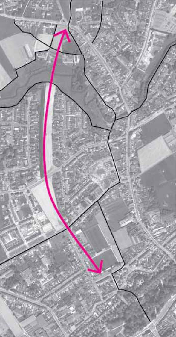
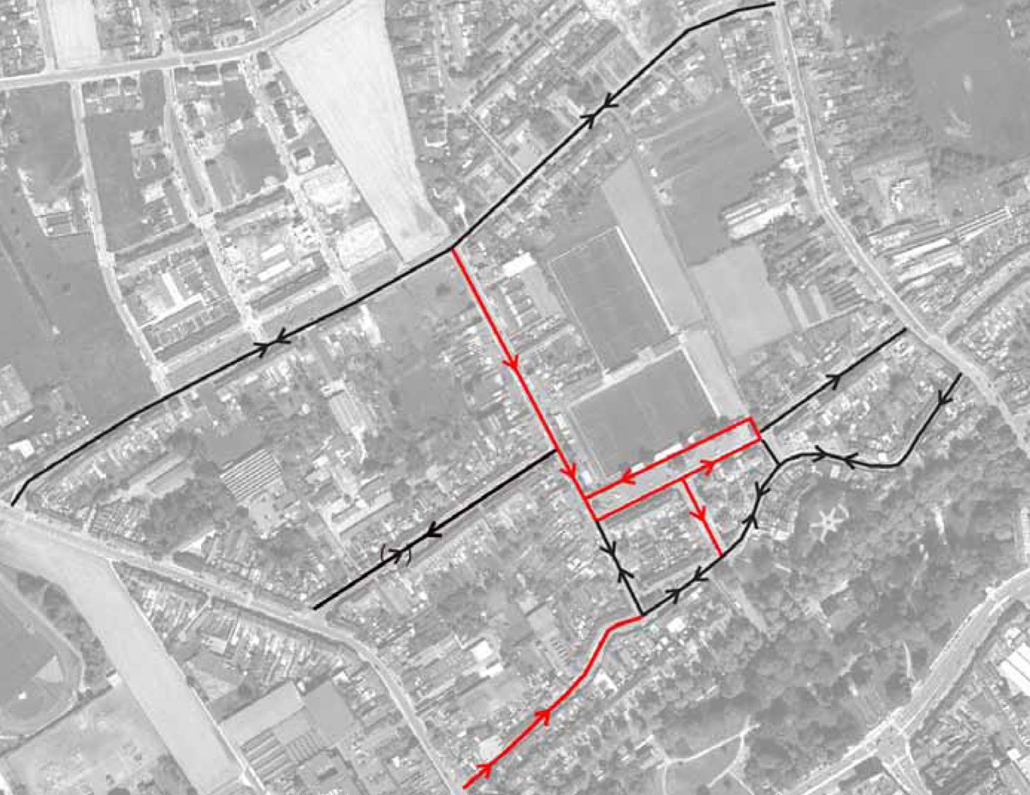
N50c, kortrijk, belgium
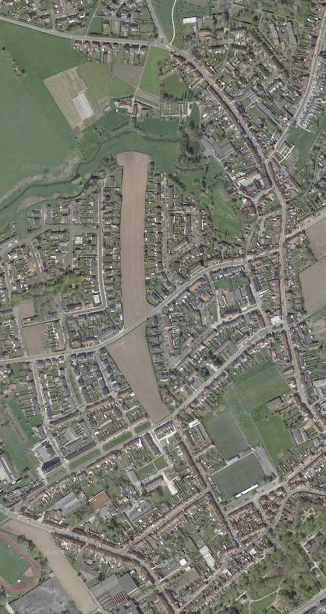
Planned in the 1970s, the N50c was to be a new exit route north of the city, linking Molenstraat to the R8 perimeter belt. Never built, the land reserved for it begins in the urban area north of the Astridpark, crosses the agricultural area around Preetjesmolen, continues through the Heulebeek basin, of remarkable ecological value, and ends up in the open space of the De Warande area.

BICYCLES AND PEDESTRIAN
GREEN STRUCTURE
PROGRAMME OF USES
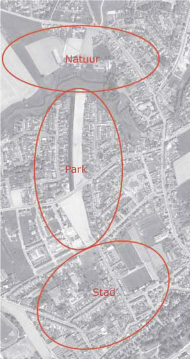
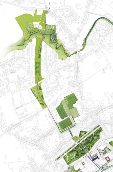
What was to be a highway is redesigned as a structure that fulfils three functions:
- - an ecological green corridor
- - a bicycle connection, both recreational and functional, to link Kortrijk with Heule and Kuurne
- - a recreational pedestrian link between Astridpark, the sports fields and De Warande
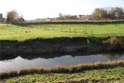
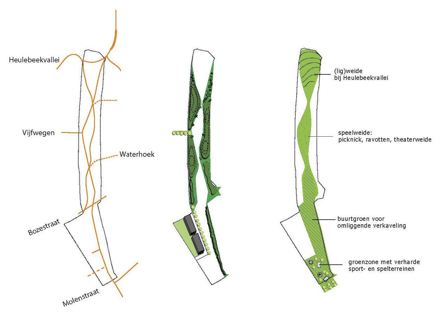
HEULEBEEK VALLEY
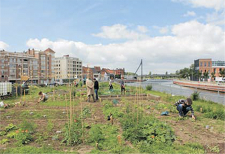
RECREATIONAL AREA
URBAN GREEN
ACTIVITIES AREA
PROPOSAL
MOBILITY IN URBAN AREA
REDEFINITION
The character of this axis evolves along its route depending on the territory it crosses: it begins by attending to the urban character of the fabric north of Astridpark and around the sports fields -where the buildings form a continuous façade-, it is defined as an equipped park between Molenstraat street and the Heulebeek basin - where isolated single-family dwellings predominate - and ends up opening up to the landscape and nature between this and the R8 - where the pre-existing green areas have a unique character-.


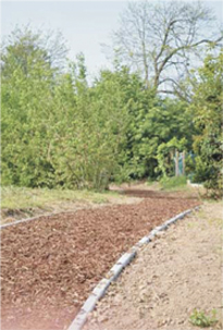
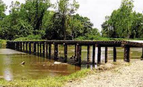
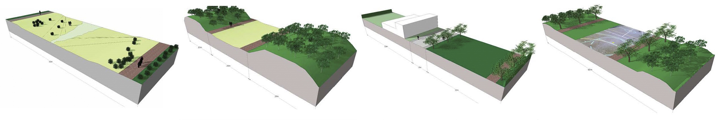
EQUIPPED PARKS REFERENCES